This blog post is the second in a three-part series presenting the ‘Forest to Sea’ (F2C) trans-Norfolk long distance ‘bikepacking’ or cycle touring route. The route, which I pieced together by linking off-road trails with quiet country lanes (some of which form part of the Regional and National Cycle Networks) is a 137-mile journey from Thetford, on the southwest Norfolk-Suffolk border, to Great Yarmouth, on Britain’s most easterly coast. In Part 2, I present a photographic record of the Cley to Great Yarmouth leg. The whole route has a separate, dedicated page, with interactive mapping, video and a comprehensive, highly detailed guide available for download for a small fee.
Although the route is designed to be ridden west to east (heading north from Thetford on the Peddars Way as is traditional for walkers), there’s no reason why it cannot be reversed. As a resident of Melton Constable, North Norfolk, I visited the route on several occasions for development and testing purposes, using a combination of trains and cycling. The same approach is open to everyone, taking detours and revisiting sections or lingering in areas as you wish.
Diversions from Cley are plentiful. One possibility is a short ride west to Morston Quay, with a nearby small campsite, where you can take boat trips to view birds and seals on Blakeney Point.

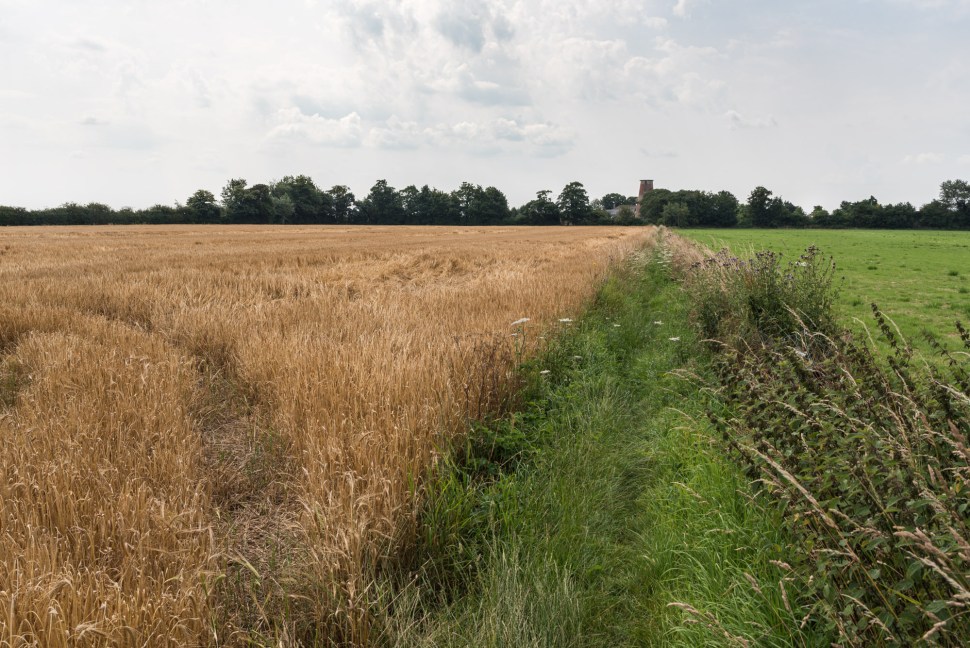
Back on the main route, from Cley there’s around 16 miles of country lanes, passing south along the Glaven Valley and climbing to the dizzy heights of 100m at Melton Constable, before meeting the Marriott’s Way disused railway line at Themelthorpe.


Swanton Novers Great Wood, a National Nature Reserve and SSSI, is another potential diversion for naturalists, with a small, certificated campsite (see the route guide for explanation) nearby at Wood Norton.


From Themelthorpe to Aylsham, and then (after a brief on-road spell in town) Aylsham to North Walsham, F2C follows traffic-free disused railway lines. There is another paved (three-mile) stretch from North Walsham to the hamlet of Bengate, where the Weavers Way once again follows the route old M&GN Melton Constable to Great Yarmouth railway off-road.


More Honing memorabilia.

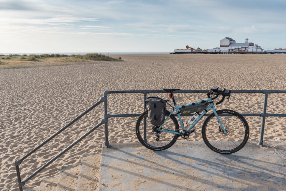
At Stalham, in the heart of the northern Broads, F2C continues on-road through Hickling to join Regional Cycle Network Route 30 near Sea Palling. After passing through iconic Broadland and seaside landscapes in Horsey, Somerton, Hemsby, Ormesby and Mautby, the trail uses an off-road bridleway shortcut to reach West Caister and its castle before following local routes to reach Great Yarmouth promenade with its remnants of Georgian, Victorian and Edwardian splendour.


The Yarmouth Hippodrome (left, emerging from behind the Circus arcade), a ‘true hippodrome’ with a sawdust ring that can be flooded for water spectacles, and Caesar’s Palace arcade (right) fronting another old seafront building.
